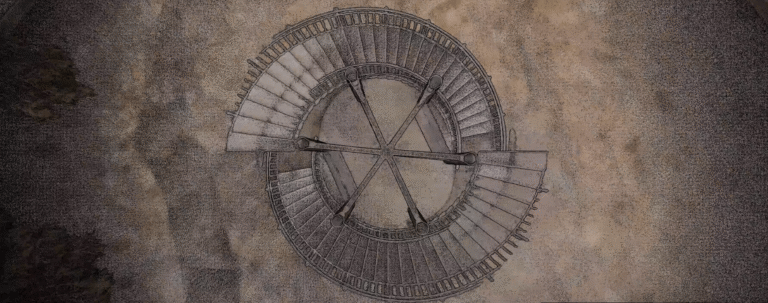
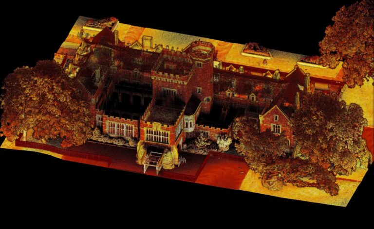
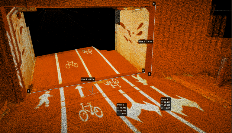
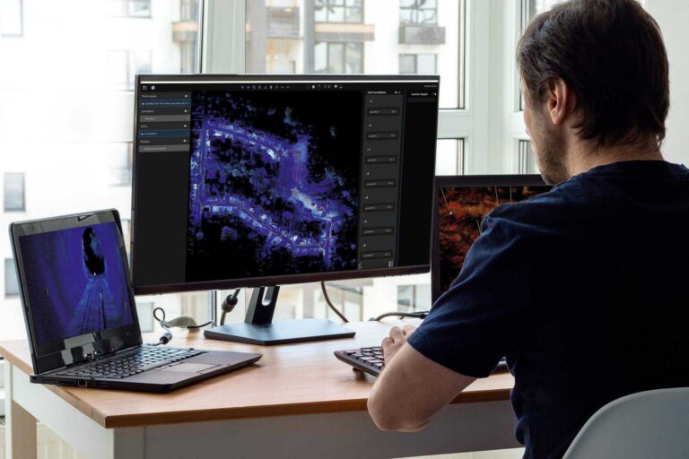
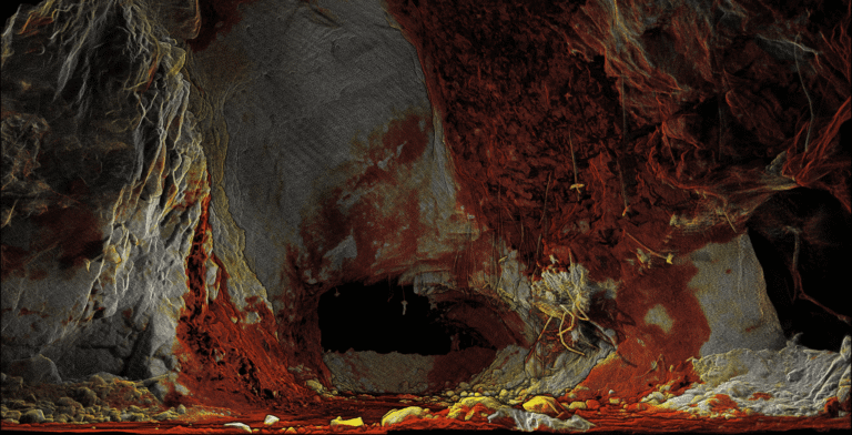
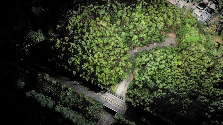
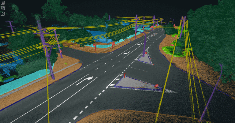
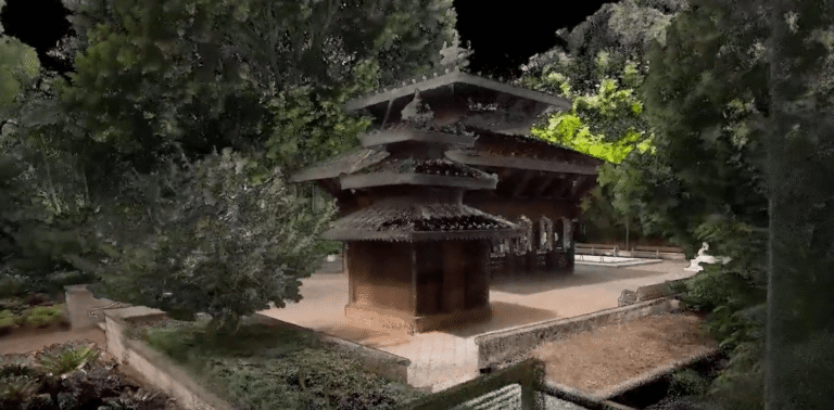
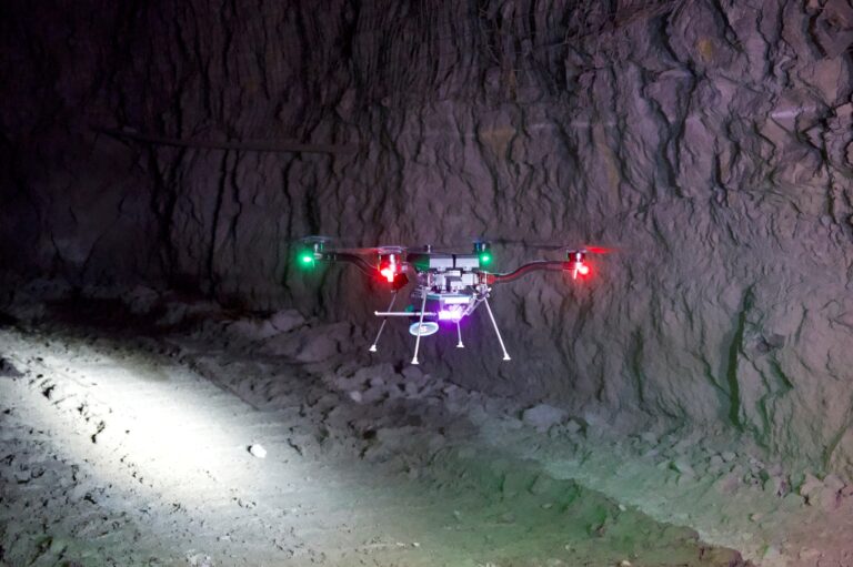
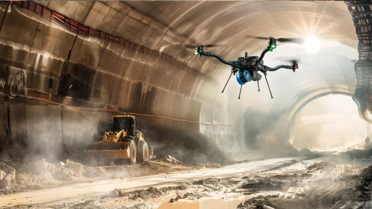
Resource Center Filter by Use CaseResource TypeIndustry Datasets King’s Park DNA Tower – Perth, Australia Case Studies Emesent Accuracy Report Webinars From Scan to Solution: How LiDAR is Transforming Engineering Workflows Webinars Emesent Hovermap in Paradise: Exploring the Many Faces of LiDAR Technology for Reality Capture in Mauritius Webinars When Minutes Matter Underground: How Autonomous Drone Technology Enabled Emergency Response in 48hrs Datasets Georeferencing in Aura with User Selected Targets and Check Points Webinars Smarter Field Accuracy: Emesent Hovermap + Emlid GNSS with Mangoesmapping News Emesent launches “Assure” program to support operational continuity with equipment swap service Videos Aura 2.0 – More flexibility, increased confidence News Emesent launches Aura 2.0: Extending Hovermap’s legendary versatility to improved ground control point workflows Blog Moving beyond dongles: Why Emesent Aura 2.0’s new concurrent user licensing is a game-changer for Hovermap users Webinars From Hospital to Forest: Unlocking deeper insights through faster reality capture Blog Transforming underground surveying: Fully autonomous stope mapping Webinars Nature’s Point Clouds – Outdoor adventures with Emesent Hovermap Webinars Интеграция системы Hovermap LiDAR с Micromine: от импорта облака точек до каркасного анализа Brochures | Case Studies 20+ ways to use Emesent Hovermap in the underground mining lifecycle News Emesent Hovermap deployed via remote controlled vehicle offers safer, quicker mapping of challenging underground pipes and tunnels Webinars Beyond the Grid: Expanding LiDAR Capabilities within the Power Industry Videos El Sakakini Palace, Cairo Webinars Beyond the Scan: Realizing the Full Potential of Point Clouds using AI and Cloud Interactions Datasets Nepalese Peace Pagoda – Brisbane, Australia Videos Pyramids of Egypt Videos AI-Powered Autonomous Exploration Webinars Maximizing Mining Efficiency: Emesent Hovermap LiDAR Success Stories in Open-Pit and Underground Mining Brochures Emesent Hovermap Accessories Blog Meet Matthew Toohey – Technical Enablement Specialist Videos How to capture a stope using autonomous exploration Brochures | Case Studies 3 ways to transform stope mapping with Emesent Hovermap News Emesent enables fully autonomous exploration and mapping of GPS-denied environments Blog Enhancing the Hovermap repair experience: What clients can expect Keep up with all the latest at Emesent SUBSCRIBE NOW
Webinars Emesent Hovermap in Paradise: Exploring the Many Faces of LiDAR Technology for Reality Capture in Mauritius
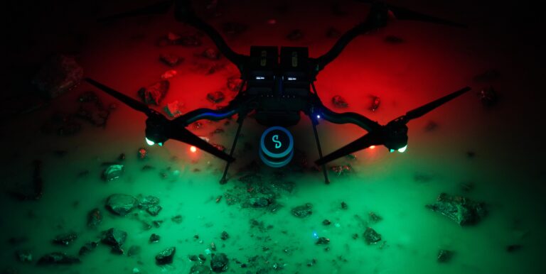
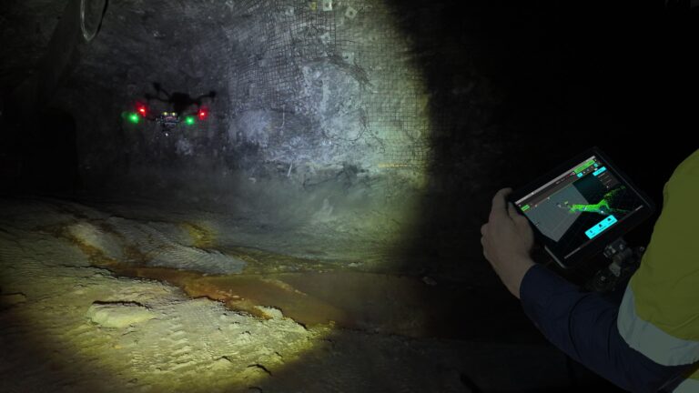
Webinars When Minutes Matter Underground: How Autonomous Drone Technology Enabled Emergency Response in 48hrs
News Emesent launches Aura 2.0: Extending Hovermap’s legendary versatility to improved ground control point workflows
Blog Moving beyond dongles: Why Emesent Aura 2.0’s new concurrent user licensing is a game-changer for Hovermap users
Webinars Интеграция системы Hovermap LiDAR с Micromine: от импорта облака точек до каркасного анализа
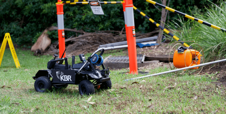
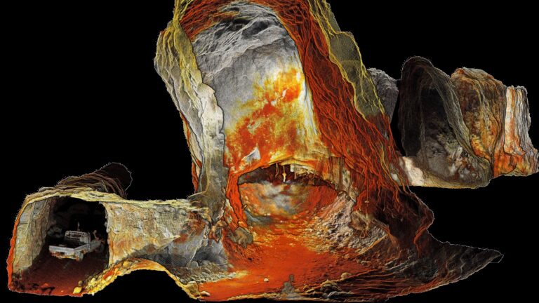
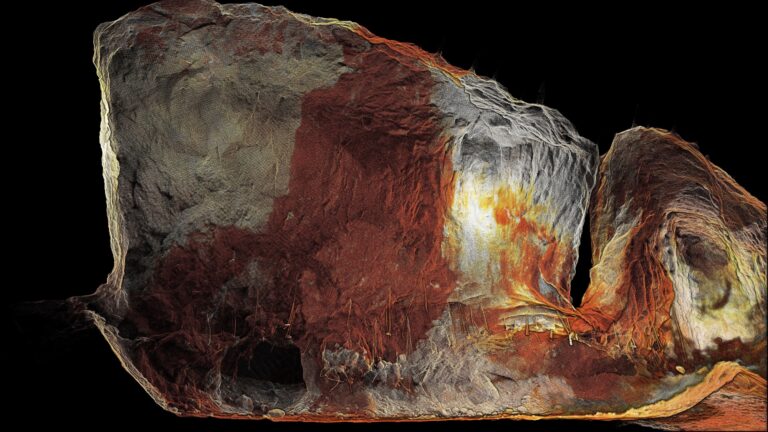
News Emesent Hovermap deployed via remote controlled vehicle offers safer, quicker mapping of challenging underground pipes and tunnels
Webinars Beyond the Scan: Realizing the Full Potential of Point Clouds using AI and Cloud Interactions
Webinars Maximizing Mining Efficiency: Emesent Hovermap LiDAR Success Stories in Open-Pit and Underground Mining